
Geodetic science—rooted in the ancient practice of land measurement and now central to global navigation—remains a keystone for some of society’s most critical applications. Whether underpinning the coordinates for smartphone maps or ensuring the stability of national borders, the science of “geod,” shorthand for geodesy, powers the spatial fabric behind modern infrastructure. Its evolution from triangulating distant mountaintops to calculating millimeter-scale tectonic shifts has shaped how we understand, navigate, and transform the Earth.
Core Geodetic Concepts: Understanding the Earth in Space
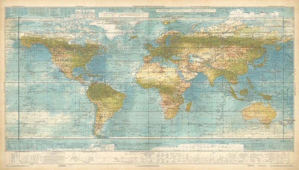
What Is Geodesy?
Geodesy is the scientific discipline focused on measuring and understanding the Earth’s geometric shape, orientation in space, and gravity field. Classical approaches emphasized large-scale land surveys, but today’s geodesy incorporates satellite positioning, remote sensing, and complex mathematical models.
Three principal domains anchor geodetic work:
- Geometric Geodesy: Determines size, shape, and positions of points on Earth—using GNSS (Global Navigation Satellite Systems), triangulation, and classical instruments.
- Physical Geodesy: Studies Earth’s gravity field and its temporal variations—essential for determining mean sea level and precise elevations.
- Satellite Geodesy: Leverages spaceborne systems like GPS, GLONASS, and others to achieve global-scale measurements with high accuracy.
Key Systems and Reference Frames
Central to geodetic science is the establishment of reference systems, such as the WGS 84 (World Geodetic System 1984), which provides a standardized, ellipsoidal model of the planet used by most modern GPS technology. These frameworks enable interoperability for global navigation, surveying, and geospatial data exchange.
“The power of a unified geodetic reference frame is in its ability to make observations from different continents—and even different centuries—fit together seamlessly,” notes Dr. Elena Becker, geospatial analyst at a leading European research institute.
Applications: Where Geodetic Principles Make an Impact
Navigation and Transportation
Every modern navigation app, transcontinental airline, and commercial shipping operation relies on geodetic principles. Accurate geodetic coordinates ensure safe and efficient transit across cities or oceans, while real-time GNSS data powers everything from rideshare apps to emergency response routing.
Aviation and Maritime Safety
Margins of error in air-navigation and maritime systems can mean the difference between safe passage and catastrophe. By refining positioning accuracy, satellite geodesy reduces these risks, supporting sophisticated collision-avoidance systems and automated vessel tracking.
Construction, Surveying, and Infrastructure
Geodetic surveying underpins large-scale urban development, from skyscraper foundations to rail networks. Before a single beam rises above a jobsite, geodetic tools establish precise boundaries and elevation baselines.
Real-World Example: The Öresund Bridge
The construction of Sweden’s Öresund Bridge—a multi-kilometer structure connecting Malmö to Copenhagen—required high-precision geodetic surveys to align segments spanning deep water and inclement weather, ensuring structural integrity and cross-border alignment.
Environmental Monitoring and Earth Science
Geodesy is instrumental in detecting shifts in tectonic plates, rising sea levels, or the movement of glaciers. By providing time-series data, geodetic observation helps scientists model natural hazards and contributes valuable insights to disaster resilience and environmental policy.
In practice, networks like the International GNSS Service (IGS) monitor the slow drift of continents, providing evidence for climate trends and informing earthquake preparedness.
Geodetic Methods: Techniques and Tools Shaping The Discipline
Traditional Approaches
Before the space age, geodetic work was conducted with tools such as:
- Total Stations: Measure angles and distances with sub-millimeter precision.
- Theodolites: Crucial for triangulation and traditional boundary surveys.
- Leveling Instruments: Determine elevation and gradients.
Digital and Satellite-Based Techniques
Modern advancements have transformed the landscape:
- GNSS Receivers: Deliver instant position fixes anywhere on Earth, with high-end units reaching centimeter accuracy.
- InSAR (Interferometric Synthetic Aperture Radar): Measures ground displacement, often used to track earthquake deformation.
- LiDAR (Light Detection and Ranging): Generates three-dimensional models for landform mapping and urban planning.
Integration with GIS
Geodetic data are increasingly linked with Geographic Information Systems (GIS), allowing for dynamic mapping, spatial analysis, and decision-making in urban design, agriculture, resource management, and disaster response.
Current Trends and Innovations in Geod
Real-Time and High-Precision Data
Recent years have seen a surge in demand for real-time geodetic data driving innovations such as:
- Networked Reference Stations: Allowing continuous correction streams for mobile GNSS receivers, vital for autonomous vehicles and drone navigation.
- Open Data Initiatives: Agencies and organizations are making geodetic datasets openly available, accelerating research and entrepreneurial applications.
Advances in Earth Observation
Multipurpose satellites equipped with geodetic instruments monitor not only positional data but also environmental metrics, such as soil moisture and ice cap changes—enabling a richer, multidisciplinary understanding of Earth’s systems.
The Next Frontier: Crowd-Sourced Geodesy
Emerging mobile applications harness positional data from millions of devices, enhancing the density and coverage of geodetic observations. While privacy and data accuracy pose challenges, this democratized approach hints at unprecedented scales for environmental monitoring and urban management.
“Geodetic science is entering a new era, where open platforms and mass participation can revolutionize how we measure and protect our changing world,” asserts Dr. Marco López, director at a major global geospatial initiative.
Challenges and Future Directions in Geodesy
Despite significant progress, the geodetic community tackles persistent and emerging challenges:
- Geopolitical Coordination: Global standards require international collaboration and resolve over territorial disputes.
- Data Security and Privacy: With more granular geodetic data being collected, safeguarding location privacy grows in importance.
- Climate Adaptation: As climate-driven changes accelerate, rapid response and flexible geodetic frameworks become crucial.
Looking ahead, integration with artificial intelligence, advances in quantum sensing, and improved real-time models promise to make geodetic systems even more indispensable in the digital and green economies.
Conclusion: The Evolving Role of Geodetic Science
Geodetic science stands as a silent backbone, underpinning navigation, infrastructure, and environmental stewardship across the globe. Its tools and frameworks enable seamless global interaction and informed, resilient planning in an era of dynamic challenges. As technologies advance and societal needs shift, the influence of “geod”—and those who practice its principles—will only intensify in the years to come.
FAQs
What does “geod” refer to in geodetic science?
“Geod” is shorthand for geodesy, the scientific field devoted to measuring and understanding the Earth’s shape, gravity, and orientation in space.
How is geodesy used in everyday technology?
Geodesy supports navigation systems, smartphone location services, precise construction surveying, and a range of mapping and earth observation tools relied upon daily.
Why are geodetic reference frames important?
Reference frames like WGS 84 provide standardized positional data, ensuring compatibility across GPS devices, mapping platforms, and global monitoring networks.
What are the main challenges facing geodetic science today?
Key challenges include international coordination, data privacy, maintaining accuracy as climate and technological landscapes evolve, and adopting new sensing technologies.
How does satellite geodesy differ from classical methods?
Satellite geodesy uses space-based technology (such as GNSS satellites), providing greater coverage and accuracy than ground-based methods like triangulation and leveling.
What industries rely most on geodetic principles?
Industries such as transportation, construction, telecommunications, urban planning, and environmental science all depend heavily on geodetic measurements for successful operations.